
Can You Dig It? The Return of the Geologist
By Morgan Sanders ’22
In 2007, I made my first trip to Highland as a curious six-year-old. Now 15 years later, I have returned as an even more curious 21-year-old. If only six-year-old me knew that I would be studying Highland as a college senior.
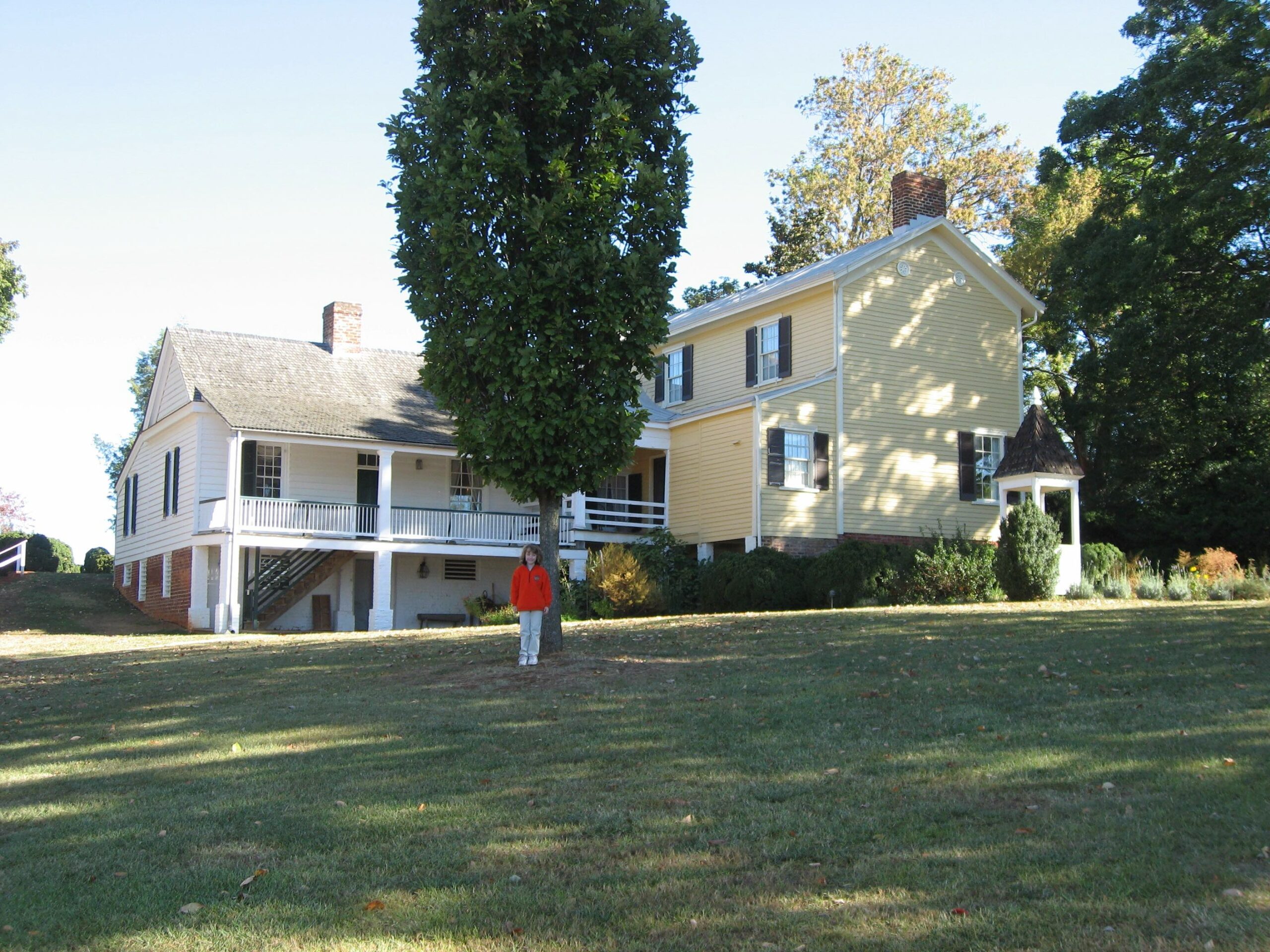
2007: Me standing in front of the 1818 Guesthouse (white) and the 1873 Massey House (yellow).
I will be graduating from W&M in December as a double major in Geology and History. When it came time to choose my senior research project, I was immediately drawn to W&M’s Highland, the former estate of fifth U.S. President, James Monroe. Monroe owned Highland from 1799 to 1826. His original purchase of 1000 acres is now down to 500 acres and has been owned by William & Mary since 1974.
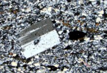
Located on the eastern side of Carter Mountain, and geologically part of the southeastern limb of the Blue Ridge anticlinorium, Highland sits just outside of Charlottesville near the town of Simeon, approximately 1.9 miles south of Monticello. In 1994, Nick H. Evans’s map “Geology of the Simeon Quadrangle, Virginia” was published, and he noted three rock types on the Highland property that are all part of the Catoctin Formation. The Catoctin Formation (pdf) consists of Ediacaran rocks and is primarily composed of metabasalt, commonly referred to as greenstone due to its greenish color. The Catoctin Formation also has occasional layers of metasedimentary rocks as well as volcanic breccia. The 1994 geologic map identifies three rock types at Highland including metabasalt (which we note to be a greenstone), meta-arkose, and a metasiltstone/phyllite. Interestingly enough, Evans’s interpretation of geologic contacts slightly differs from our observations in the field. Using LiDAR topographic data as a base layer, I am making a detailed geologic map of the Highland property.
My research also continues the work of the Spring 2022 GEOL 311 Course-Field Methods in the Earth and Environmental Sciences (Blog Part 1 and Part 2). I am currently working on the geologic map and cross section of Highland, a static field guide to Highland, as well as a digital trail guide with field stops and a Highland movie focused on geology and the environment. The goal of these guides is to connect deep time to both the historical and modern landscape.
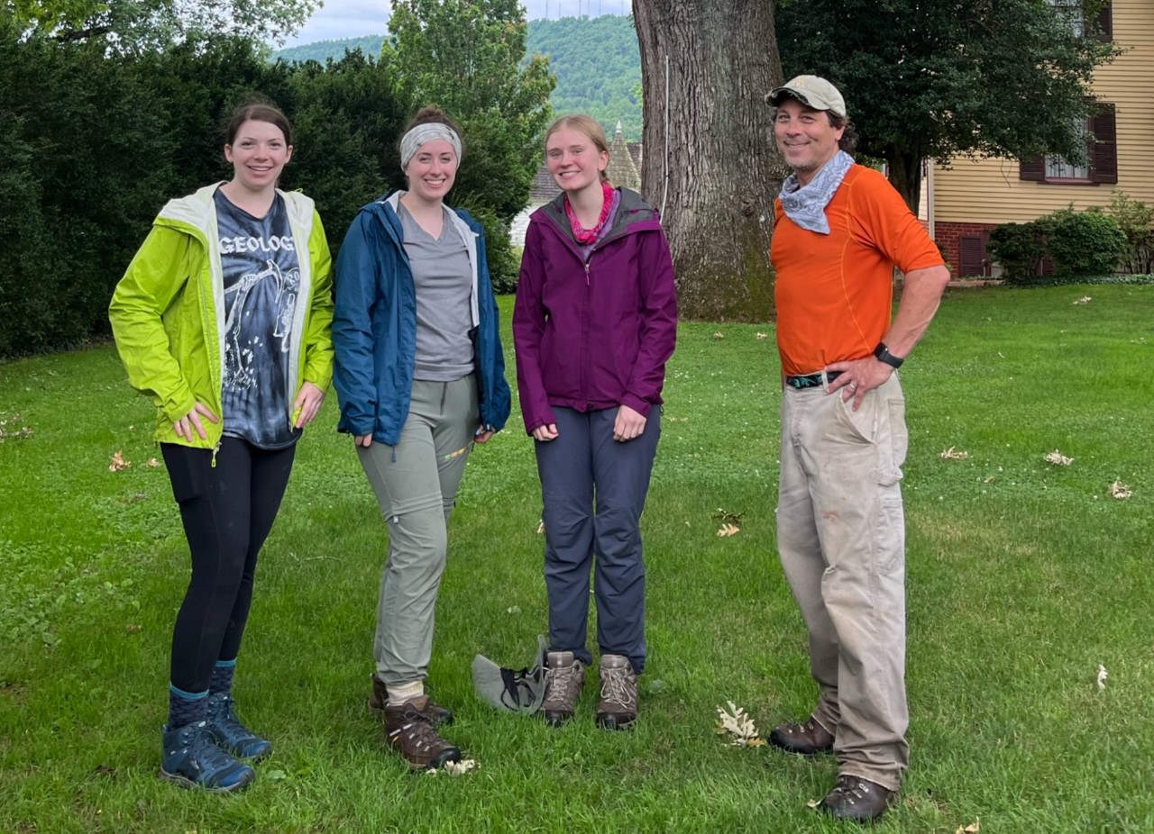
Three of the Seven members of the Structural Geology & Tectonics Research Group, B to the 7th. From right to left: Chuck Bailey, Olivia, Me (Morgan); W&M Geology Student: Delaney (far left).
I hope to tell the story of Highland throughout geologic time up until the present day. Besides these deliverables, I am also investigating the foundation of the original Monroe home — uncovered in 2016 by Dr. Sara Bon-Harper, archaeologist and current Executive Director of the property. Working with Dr. Bon-Harper and my advisor Chuck Bailey, I am hoping to determine the origin of the foundation stone. Chuck and I have hypothesized that stone was quarried on the Highland property at some point in time and are using the LiDAR data to help guide our search for an old quarry. Our goal is to complete a small archaeological dig with Dr. Sara to collect samples of the foundation stone and geologically characterize the rock. Chuck and I have been told that the foundation stone is alaskite. An alaskite is a light-colored, granitic igneous rock, composed primarily of K-feldspar and quartz. Similar to The Monticello Mystery reported by Chuck in 2011, we believe that this “alaskite” is actually a sedimentary rock with its clastic texture. We will compare the results of the foundation stone with the results of other stone from the Highland property. If the foundation stone is different, where did it come from? If it is from the property, who quarried it? And can we tell their story?
After each field day at Highland, I often joke that we leave with more questions and few answers. It makes sense that Highland is a puzzle. Combining a historical record of over a couple hundred years with deep time on a geological scale, is no small feat. As you can see below, the landscape at Highland has changed tremendously over the past 80 to 90 years. It’s quite fun to imagine what the property looked like 200 years ago, 500 years ago, let alone on a geologic timescale. I am honored to work on this project, and I am excited to see what I learn next.

Left: Early 1930’s Aerial View (Facing Southeast). Right: 2019 Aerial View (Facing North). Select image to view larger.


Comments are currently closed. Comments are closed on all posts older than one year, and for those in our archive.
Morgan, this was an incredible read. I had a great time working in Highland during Field Methods, and I am excited to see the results of your research. Great work!