
Summer Research: Introducing the Buckmarlson Banshees
Try to find Buckmarlson on a map and you won’t have much luck. It’s the newly created place name for our field area in Virginia’s west-central Piedmont. Buckmarlson is a portmanteau word we created based on the names of the three counties in which our geologic studies are taking place: Buckingham, Albemarle, and Nelson counties.
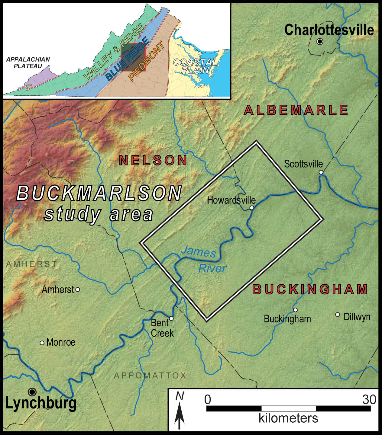
Map illustrating the Buckmarlson region in central Virginia. Our study area lies astride the boundary between the Blue Ridge and Piedmont provinces.
Our Buckmarlson study area lies astride the boundary between the Blue Ridge and Piedmont geologic provinces. As I’ve noted in earlier posts a major tectonic boundary is postulated to separate the Blue Ridge and Piedmont rocks, but the structural geometry and tectonic significance of this feature is poorly understood. One of our research goals is focused on resolving the kinematic and structural history across the Blue Ridge-Piedmont boundary.
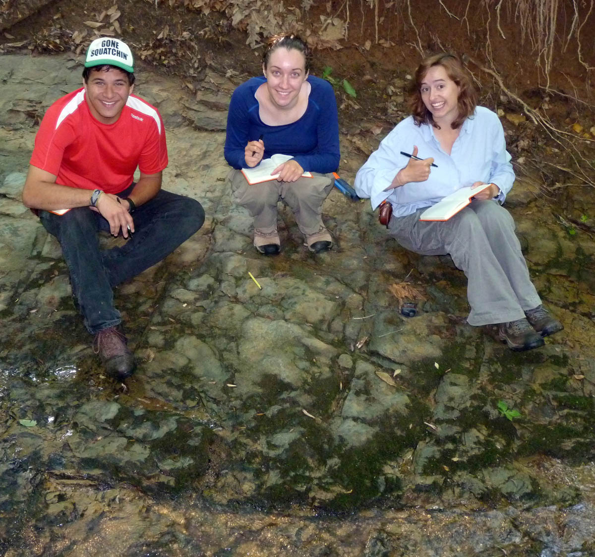
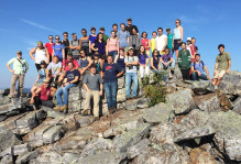
The Buckmarlson Banshees at work. Patrick Frier, Ciara Mills, and Anna Spears at an outcrop deep in the heart of Virginia.
We’re supported by a EDMAP grant from the U.S. Geological Survey and will produce a bedrock and surficial geologic map of the Howardsville area as part of our research. The Buckmarlson Banshees include William & Mary geologists Patrick Frier, Ciara Mills, and Anna Spears: later this summer we’ll be joined by Vincent Cunningham and Michelle Hoon-Starr. Other nicknames that received consideration, but were wisely passed over, included the Howardsville Hobos, Howardsville Honeybuns, and Howardsville Hooligans. You’ll have to ask them why they chose Banshees!
The James River flows across the region and we’ll make good use of the river, as bedrock exposures are plentiful in its channel and along the adjacent steep slopes. In the recent geologic past (the last 2 to 5 million years or so) the James River flowed at higher elevations, as the river eroded its channel and down cut to form its modern valley a series of river terraces formed. Another research goal is to both identify and determine the age of the old river terraces, which will inform us about the incision history of the James River.
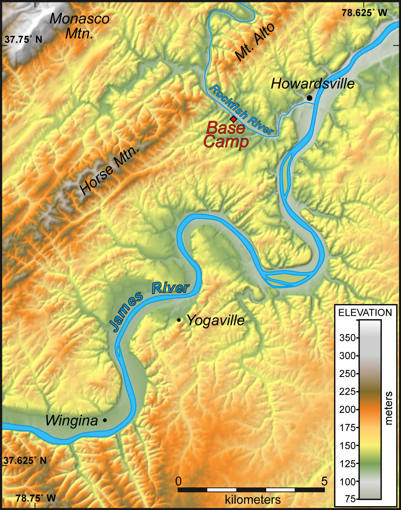
Shaded relief map of the study area near Howardsville, Virginia. Note the linear elements in the topography to the northwest of the James River and the dendritic drainage pattern to the southeast of the James River.
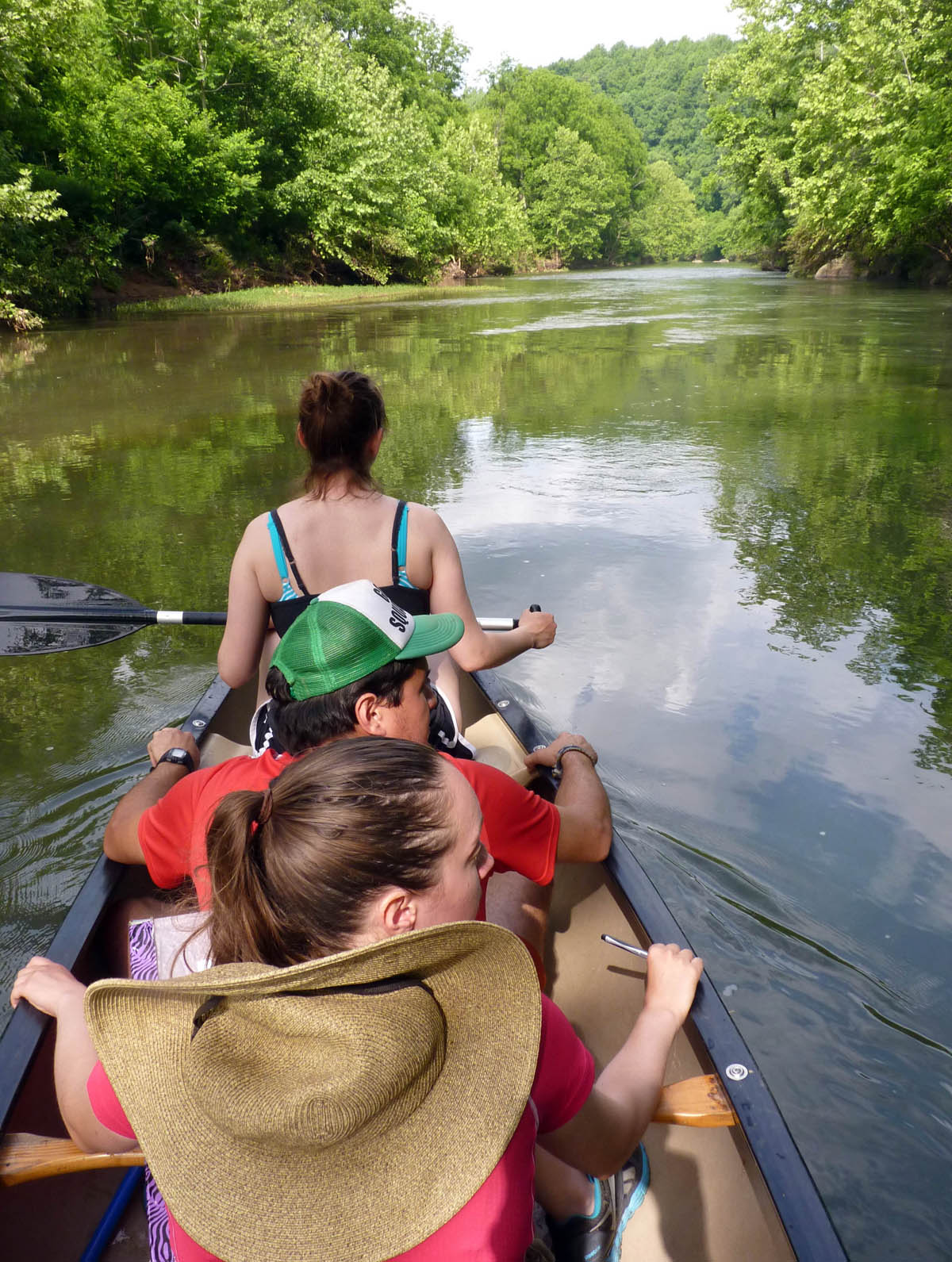
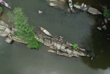
River Banshees afloat on the Rockfish River.
We’ll split time between the Geology Department at William & Mary doing lab and computer work and the field. Fieldwork is hard work, but our base camp is in an idyllic setting along the Rockfish River. During our first week in the field we got our bearings on the terrain, made a number of traverses through field, forest, and a ‘memorable’ mountain laurel thicket. We also floated the Rockfish River seeking water-washed and well exposed outcrops. At week’s end we brought kilograms of samples back to Williamsburg and our geologic map has started to take shape.
As the summer rolls on, check back to learn of our progress and discoveries in the wilds of Buckmarlson.

No comments.
Comments are currently closed. Comments are closed on all posts older than one year, and for those in our archive.