
B to the 7TH (B7): A summer of research in the Blue Ridge
By Chuck Bailey
It’s summertime and the Geology department is a happening place as our research efforts are in full swing. We’ve got a pile of undergraduate students working in-house on independent projects. This year’s Structural Geology & Tectonics research team decided they’d collectively be known as B to the 7th (B7) – it’s a bit of a mysterious moniker. Counting me, there are seven of us working on research/outreach projects in the central Virginia Blue Ridge.
But what does the B stand for? Perhaps bold, maybe bodacious – it’s hard to pin down. However, when you raise the B to the 7th power that’s a big deal.
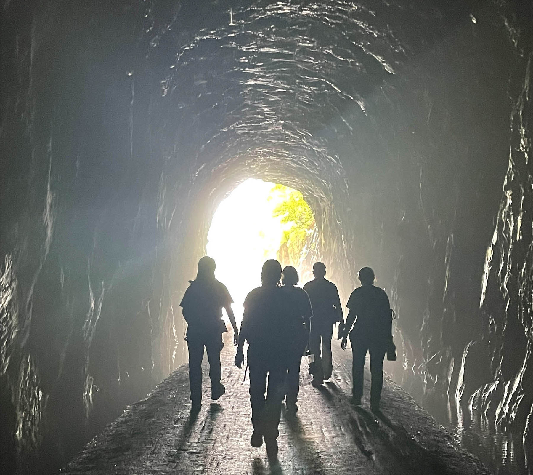
The B to the 7th team approaching daylight in the Blue Ridge Tunnel.
Our objectives for the summer include conducting structural, petrological, and geochronological research across the Blue Ridge geological province. My students are collecting data and samples for detailed analysis as part of their respective theses, but we’re also partnering with different organizations in central Virginia to produce content that furthers each organization’s educational mission. Our partners include William & Mary’s Highland, the Rockfish Valley Foundation, the Nelson County Historical Society, and Quarry Gardens. It’s exciting to take our science and package it in new ways.
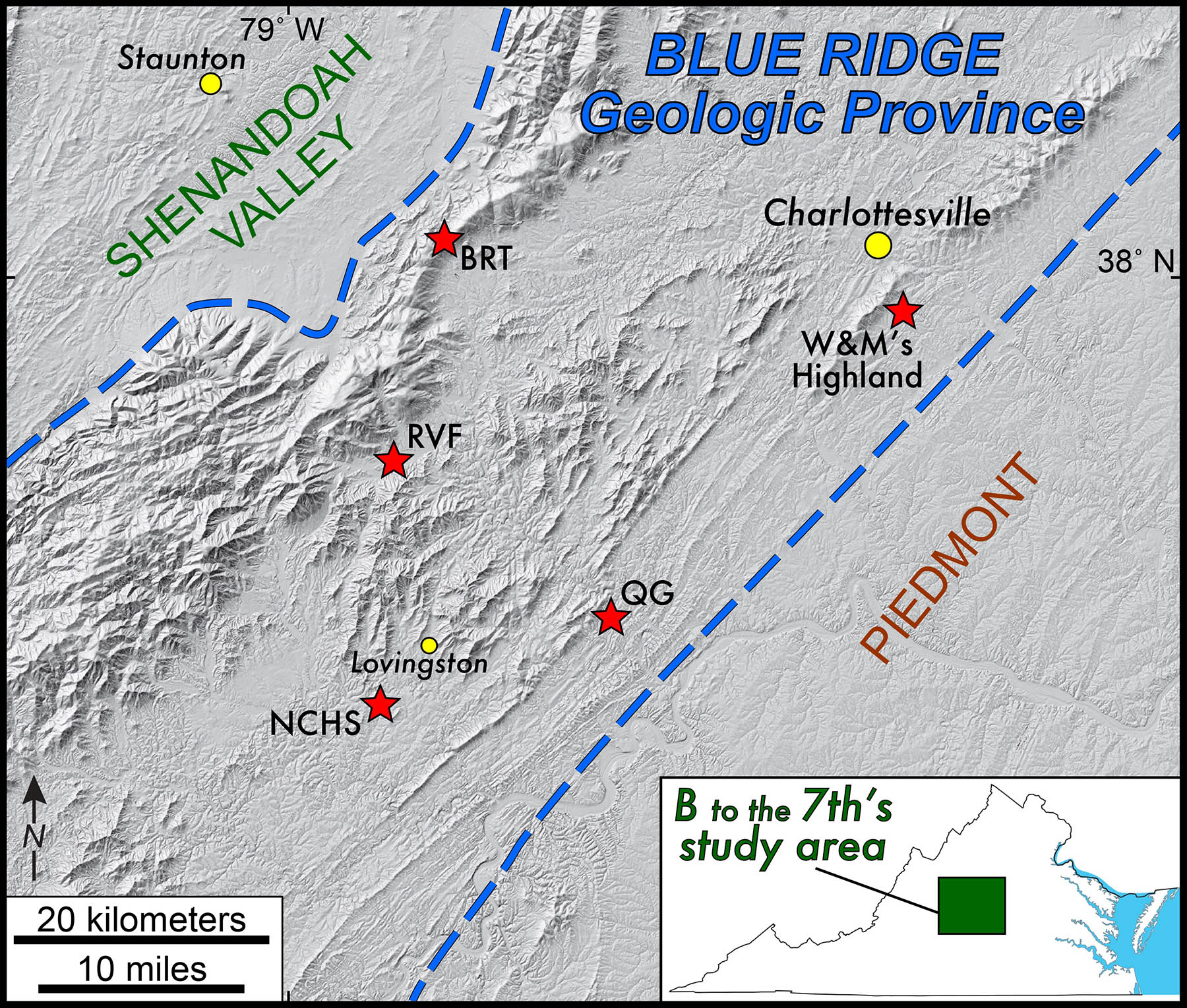
Overview map of our central Virginia study area. BRT- Blue Ridge Tunnel, NCHS- Nelson County Historical Society, QG- Quarry Gardens, and RVF- rockfish Valley Foundation.
We are supported by a William & Mary Charles Center Incubator grant and a Geological Society of America Geochronology Division AGeS-DiG grant as well with funding from the Rockfish Valley Foundation and the Stofan Scholar program in the Geology Department.
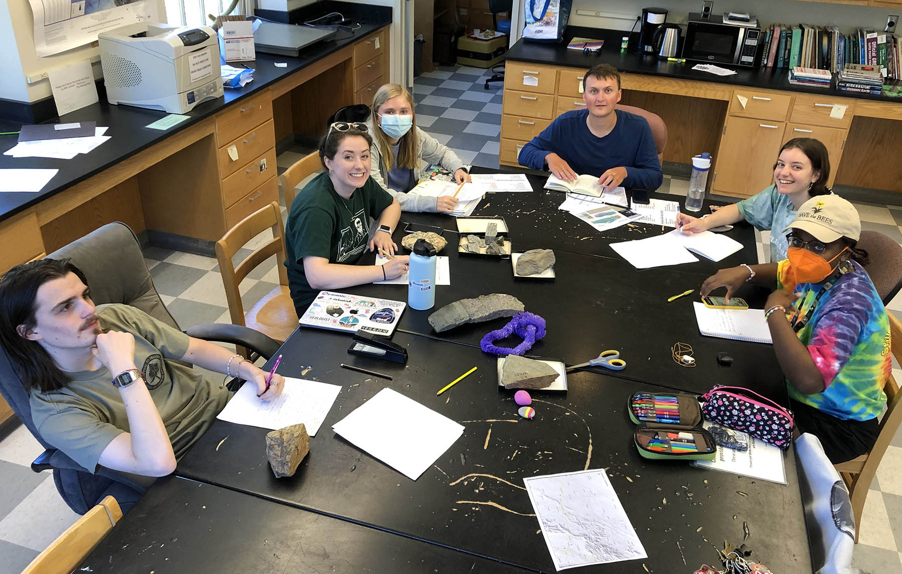
B to the 7th on our first day of summer research in the Geology Department.
Some of our outreach goals include:
- Creating an interactive digital trail map with embedded videos about the role of geology at W&M’s Highland that connects deep time to both the historical and modern landscape.
- Producing a revised and dynamic field guide of the popular Blue Ridge Tunnel plus a set of videos that illustrate the geological significance of this 19th century engineering marvel.
- Developing the Nelson County Blue Ridge Mountain app which will serve up place-based information regarding the natural history of that scenic landscape along and near the Blue Ridge Parkway.
- Building an interactive digital story map that overlays historical imagery of the damage wrought by Hurricane Camille in 1969 in Nelson County.
We’ve been to the field quite a bit over the past two weeks and it’s rained on us every time. But the B to the 7th crew is resilient. From the inky darkness inside the Blue Rudge Tunnel to the bottom of soapstone quarries to searching for tiny outcrops of nelsonite my research students have reveled in the Blue Ridge’s geological diversity.
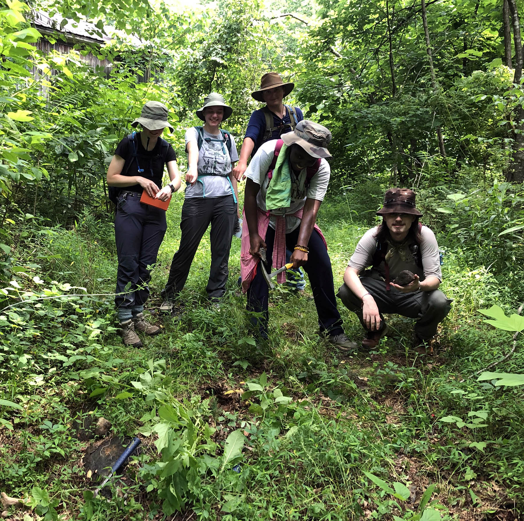
B to the 7th pointing at a tiny outcrop of Nelsonite- Virginia’s state rock.
Check back as the summer progresses to see more posts in which the B7 team brings their geological research and outreach to life.
Comments are currently closed. Comments are closed on all posts older than one year, and for those in our archive.
B to the 7th is just getting started!
Was this here during the Iapetus Ocean?
They DECIDED their moniker?